Land Appropriation
Last update: 24 .02. 2022
The area known as the Syrian Golan is a mountainous region and plateau in southwest Syria that borders Lebanon to the north, Jordan to the south, and Israel to the west. The overall landmass of the Syrian Golan is 1,860 square kilometers, which is approximately one percent of the total landmass of Syria. During the Arab-Israeli War in June 1967, Israel occupied 1,260 km2 of the Syrian Golan (over two-thirds of the total landmass of the Syrian Golan). In 1974, about 60 square kilometers was returned to Syrian sovereignty within the framework of the Separation of Forces Agreement after the 1973 War (October War), leaving approximately 1,200 square kilometers under occupation.
Successive Israeli governments adopted numerous policies to control and contain the Syrian population since Israel began its occupation of the ‘Occupied Syrian Golan’. They have destroyed numerous villages, driven thousands from their homes, expropriated private and public property, preventing the remaining Arab villages from expanding, and actively stopped the free movement of people. In 1981, Israel enacted legislation that purported to annex the territory. This move was widely condemned by the international community in unilateral statements and numerous declarations and resolutions of the UN General Assembly and UN Security Council.
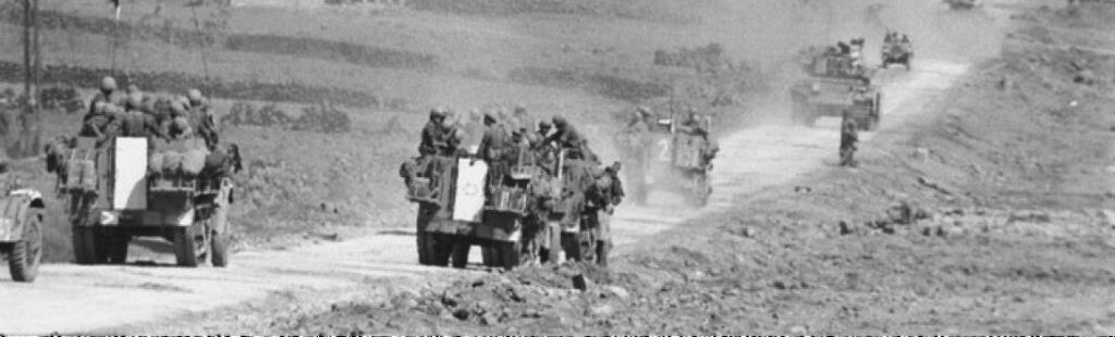
After the cessation of hostilities, Israel carried out the largest ethnic cleansing operation in the occupied Golan, by the forcible displacement of more than 138,000 Syrian citizens into Syria, and then destroying all their residential areas, which consisted of 341 villages, in addition to the city of Quneitra, the capital of the Golan. The ethnic cleansing campaign enabled the occupying power to seize lands, in order to achieve its colonial project, which started in Palestine and extended to the Golan and is based on emptying the occupied land of its indigenous Syrian inhabitants and re-filling it with Jewish settlers.
As for the five Syrian villages, which were not affected by the forcible displacement (Majdal Shams, Masada, Buqaatha, Ain Qinya, and Ghajar), their population on the day of the occupation was nearly 6,000, and they owned more than 100,000 dunams of lands. Over the years, the occupation authorities confiscated 56 % of these lands in favor of settlements, military bases, and natural reserves, so that only 47,000 dunums remain owned by the remained (to date 28.000) Syrian residents, while the settlers, (to date 29,000 people), own approximately 1,100,000 dunams, part of which is allocated for the needs of the occupying army.
Israel’s occupation of the Syrian Golan during the 1967 Arab-Israeli war and subsequent annexation has violated various major legal principles, including those reflecting customary international law. Relevant provisions are enshrined in the UN Charter; the Hague Regulations; the Fourth Geneva Convention; Protocol 1 of 1977, Additional to the Geneva Conventions of 1949. (For more information, please refer to A/RES/66/80, a relevant United Nations General Assembly Resolution of 12 January 2012).
For more information about Land Appropriation, see the publication of the website:
- Nature reserves in the Occupied Golan - The environment in the service of Land control policy.
- Changing the Landscape: Israeli’s Gross Violations of International Law in the Occupied Syrian Golan.
- Forgotten Occupation: Life in the Syrian Golan after 50 years of the Israeli occupation.
Related Posts