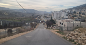
The buffer zone lies within the boundaries of the Quneitra Governorate, and it is a demilitarized area that separates the Syrian Army from the Israeli occupation forces. This area spans northward from Mount Jabal El Sheikh (Hermon Mount), up to the point where the Raqad Valley meets the Yarmouk River in the South, covering an area of 235 square kilometers. This isolated area was formally agreed upon in the Disengagement Agreement, which was signed in 1974 between the Syrian state and the State of Occupation (Israel).
On the night of the fall of the ruling family’s regime in Syria (December/2024), Israel began carrying out military operations in the depths of Syrian territories, with the aim of destroying the Syrian army’s military infrastructure and combat capabilities.
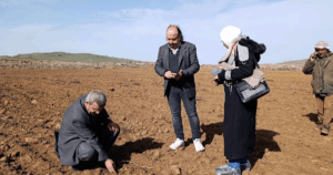
As for the border area, since the collapse of the regime, it has continued to witness daily incursions by the Israeli occupied forces, in hand with the destruction of both military and civilian buildings, as well as the bulldozing of woodlands and agricultural lands. These military activities eventually turned into a permanent occupation on the entirety of the buffer zone, resulting in full control over the livelihoods of the residents in the area.
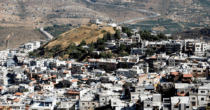
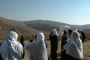
The buffer zone is home to many population centers (villages). In addition to this, there are villages that lie within its area or are a part of the area. Most of these villages primarily rely on agriculture and livestock farming for their livelihoods.
Read the full report: