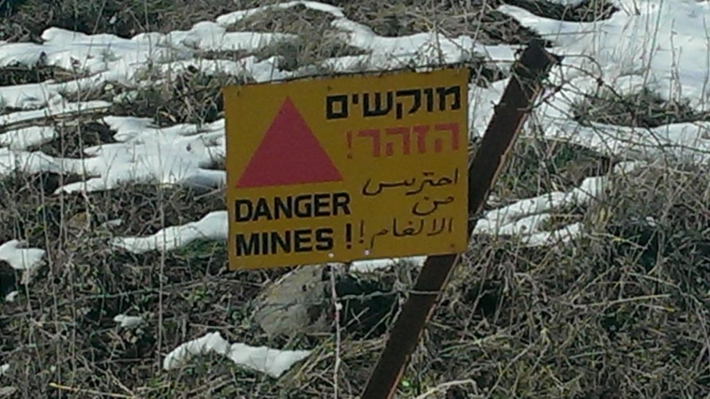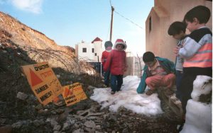
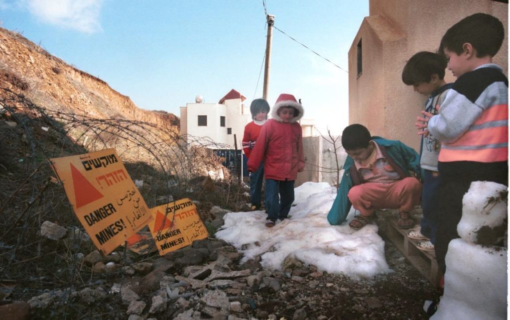
Traditionally, landmines have been used in military science as a defensive strategy, aimed at slowing the enemy down or denying armed forces passage through certain terrain. These explosive devices are often concealed or under the ground and are designed to destroy targets that cross them. They can be classified in two main groups; anti-personnel mines and anti-tank mines, aimed at persons and tanks respectively, as their names suggest. Sadly however, minefields tend to last longer than the conflicts they are used in, becoming remnants of war, injuring and killing people for many years after the conflict has ended and rendering areas unusable for decades. This has been the case in the Occupied Syrian Golan. According to official Israeli sources, “More than 75,000 dunams, which are about six percent of the Golan Heights, are suspected of being mined. The Golan has about 2,000 minefields located on the outskirts of populated areas, neutralizing grazing land, agricultural land and nature reserves 1.
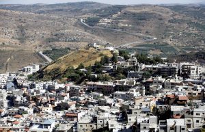
New anti-personnel mines have been laid by the Israeli military as recently as 2011. Furthermore, the Occupied Syrian Golan also contains the remnants of minefields laid by Syrian and French forces during their control over the territory, as well as mines from the period of the British Mandate, laid by Jordan and Egypt. Minefields are located all over the Occupied Syrian Golan and Minefields are located all over the Occupied Syrian Golan, and beside the ones indicated on the maps, there are unofficial reports on additional minefields, which have been verified in field tours, as well as incidents of stepping on landmines, which indicate the presence of unmarked minefields around and within Druze villages in the Golan 2.
Since 1967, it is estimated that at least 69 Syrians have been victims of landmines in the Occupied Syrian Golan. Among these, 18 died, half of whom were children. Israeli civilians, Israeli soldiers and tourists have also been victims of landmines, however, accurate figures on casualties are difficult to obtain.
